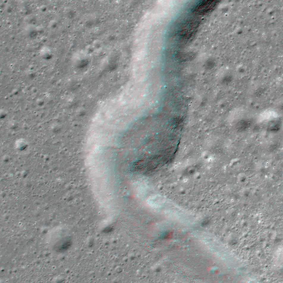
Links related to this anaglyph:
Full RDR product page
Lunaserv context map
Quickmap context map
EDRs:
M188572525R
M188572525L
M188593971R
M188593971L
Published by Kristen Paris on 26 January 2018
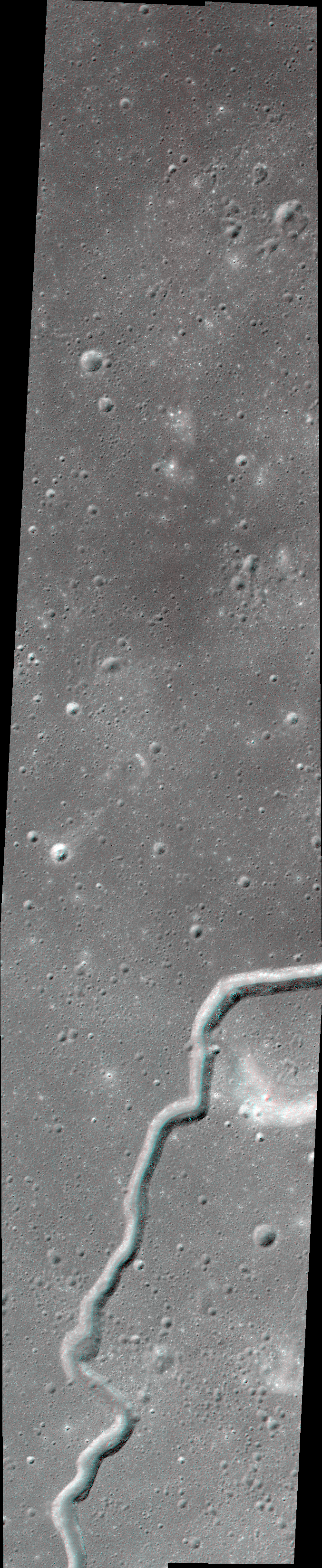
Links related to this anaglyph:
Full RDR product page
Lunaserv context map
Quickmap context map
EDRs:
M188572525R
M188572525L
M188593971R
M188593971L
Published by Kristen Paris on 26 January 2018