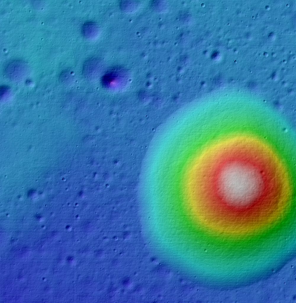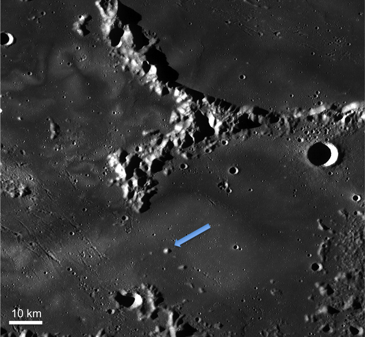
Within Mare Ingenii, there are multiple striking landforms. Perhaps the most studied are the swirls that decorate the mare in beautiful patterns. Nearby one of the swirls is the symmetrical mountain (opening image). Is this mountain a volcanic feature (perhaps a dome, shield, or cone) or a remnant of preexisting terrain that was embayed by a flood of basalt (kipuka)?
The circular feature is more reflective than the mare that surrounds it. In this case, the Sun is coming from the west, illuminating the western slope, so perhaps the eye is simply seeing the effect of topography facing the Sun? Or could the higher reflectance also be the result of a composition difference? If the mare and the circular feature were of the same composition, we would expect to see a smooth gradient both in the reflectance and the topography as you move from the mare up onto the mountain. In this case, however, the boundary between the mare and the mountain is sharp.
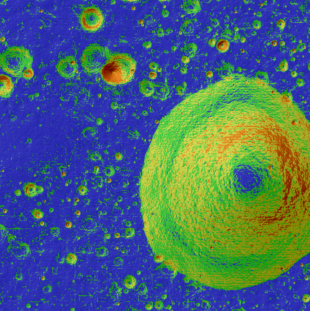
If only the NAC image is used to interpret this landscape, this mountain might be classified as a dome (a volcanic landform). However, the color coded shaded relief and the color coded slope map (below) suggest that this feature may be a highland kipuka because it has slopes that are too steep to indicate a low shield and because it lacks a summit crater or fracture like one might expect of a volcanic dome, shield, or cone. Kipukas are the remnants of preexisting terrain that have been embayed by mare basalt but remain partially exposed at the surface. These could be crater rims, peaks, or large ejecta blocks. These features are often hard to distinguish due to gradual wearing down and rounding of the slopes. Though the flanks of the mountain are smooth, it is low in iron and titanium, which is consistent with highlands material. To unambiguously classify this mountain, fieldwork and sample analysis are necessary.
Explore the full NAC DTM below!
Related posts:
Published by H. Meyer on 1 October 2013


