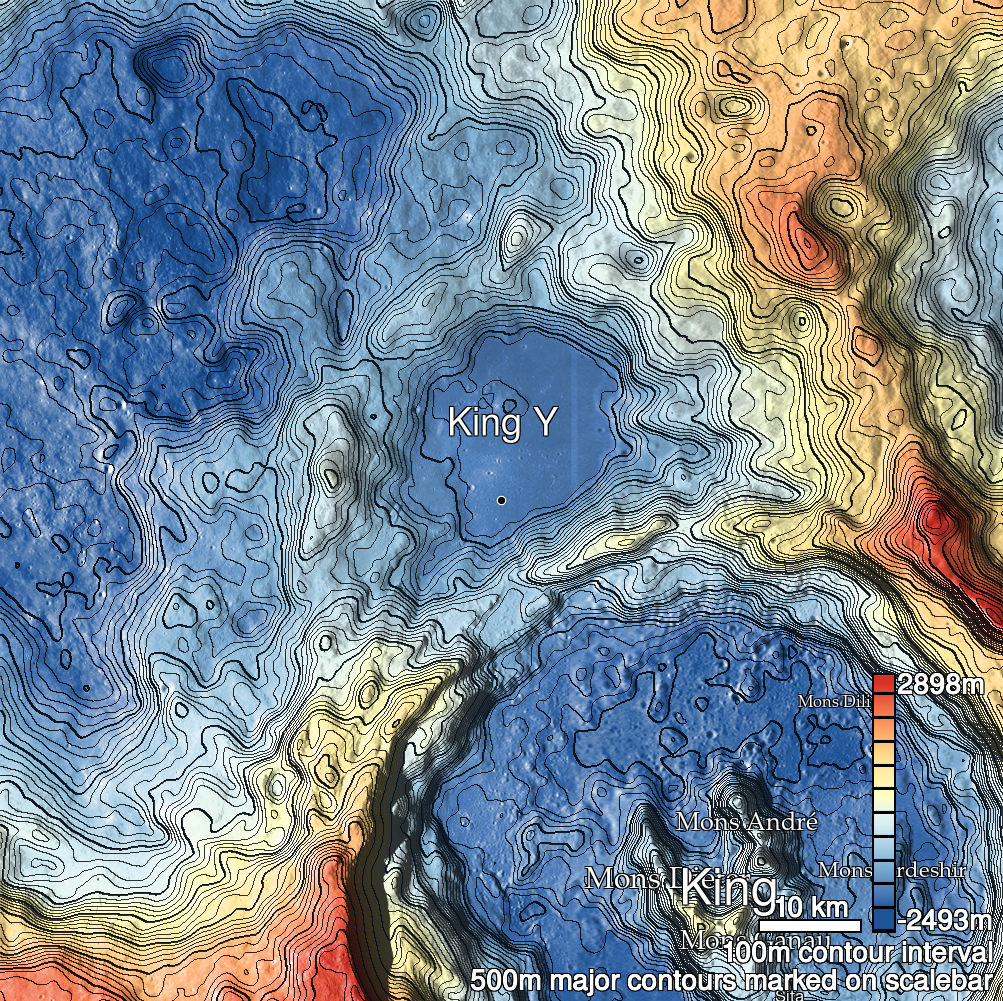
Pits Atlas: King 12
| Impact Melt pit: King | |
|---|---|
| Name | King 12 |
| Lat. | 6.2487 |
| Long. | 119.7506 |
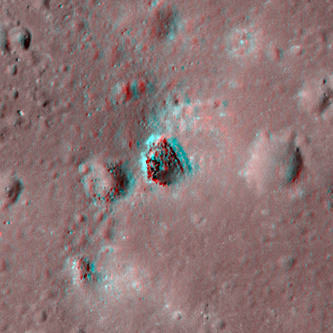
| Desc. | Elliptical pit near the top of a PRF. S wall is a ramp to the floor. N side of floor is a pile of 0.5-3m boulders. Definitely no overhang on the E side; 1-2m overhang on W, but back wall may be visible. There's a similar-diameter but very shallow depression 13m W at the edge of the PRF that, is low-Sun lighting from the E, looks like it could be separated by a bridge. It is not. There are pits ~300m NW and ~280m W. |
| Types | |
| Terrain | Impact Melt |
| Host Feature | King |
| Funnel Min. Diam. | 24 |
| Funnel Max. Diam. | 33 |
| Inner Min. Diam. | 22 |
| Inner Max. Diam. | 26 |
| Azimuth | 165 |
| Depth | 7.0 |
| Depth 1 | 5.8 |
| Depth 2 | 5.5 |
| Depth 3 | 9.2 |
| Best Stereo Left | M143839277L |
| Best Stereo Right | M143839277L |
| DTMs | NAC_DTM_KINGCRATER3 |
| Clipping Width | 200 |
| Other IMGs | |
| Data Warning | |
| Entrance Ramp | Y |
| Overhang | Y |
| Nearby Pits? | Y |
| Nearby Fractures? | N |
| Nearby Depressions? | Y |
| In Dome | Y |
| Beside Dome | N |
| In Depression | N |
| Colinear Pits | N |
| Colinear Depressions | N |
| Colinear Fractures | N |
| King 12 Shaded Relief | |
|---|---|
 |
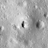
| M182745931L | |
|---|---|
 |
|
| Line | 19792 |
| Sample | 1703 |
| Inc. Angle | -48.25 |
| Emission Angle | 2.28 |
| Time | 15.21 |
| Resolution | 1.27 |
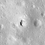
| M106088433L | |
|---|---|
 |
|
| Inc. Angle | -35.09 |
| Emission Angle | 1.34 |
| Time | 14.29 |
| Resolution | 1.29 |
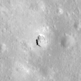
| M185104801R | |
|---|---|
 |
|
| Inc. Angle | -20.77 |
| Emission Angle | -0.69 |
| Time | 13.35 |
| Resolution | 1.26 |
| King 12 Stereo |
|---|
 |