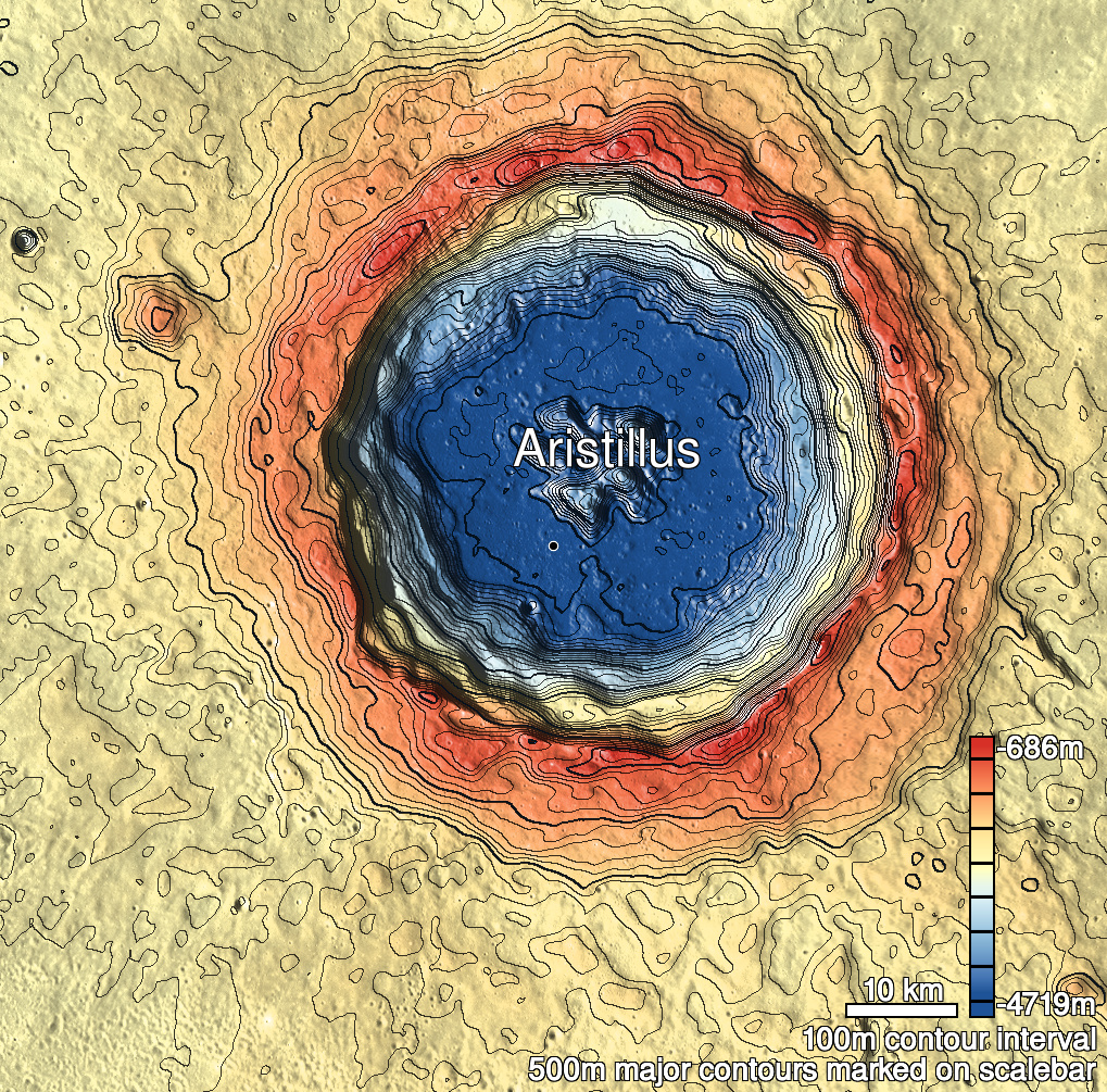
Pits Atlas: Aristillus 2
| Impact Melt pit: Aristillus | |
|---|---|
| Name | Aristillus 2 |
| Lat. | 33.5874 |
| Long. | 1.019 |
| Desc. | Rectangular pit, with possible slope covering most of SW wall. There's a suspiciously deep-looking 6m crater ~10m from the N wall, but no other depressions/pits in the area. Possibly no floor visible, just SW sloped wall. |
| Types | |
| Terrain | Impact Melt |
| Host Feature | Aristillus |
| Funnel Min. Diam. | 36 |
| Funnel Max. Diam. | 30 |
| Inner Min. Diam. | 9 |
| Inner Max. Diam. | 16 |
| Azimuth | 45 |
| Depth | 14.0 |
| Depth 1 | 13.1 |
| Depth 2 | 18.0 |
| Depth 3 | 10.4 |
| Best Stereo Left | M1167162798R |
| Best Stereo Right | M1167162798R |
| DTMs | |
| Clipping Width | 200 |
| Other IMGs | |
| Data Warning | Some uncertainty about where the end of the shadow I'm measuring is, and what part of the rim/funnel is the source. |
| Entrance Ramp | N? |
| Overhang | ? |
| Nearby Pits? | N |
| Nearby Fractures? | N |
| Nearby Depressions? | N? |
| In Dome | N |
| Beside Dome | N |
| In Depression | N |
| Colinear Pits | N |
| Colinear Depressions | N |
| Colinear Fractures | N |


