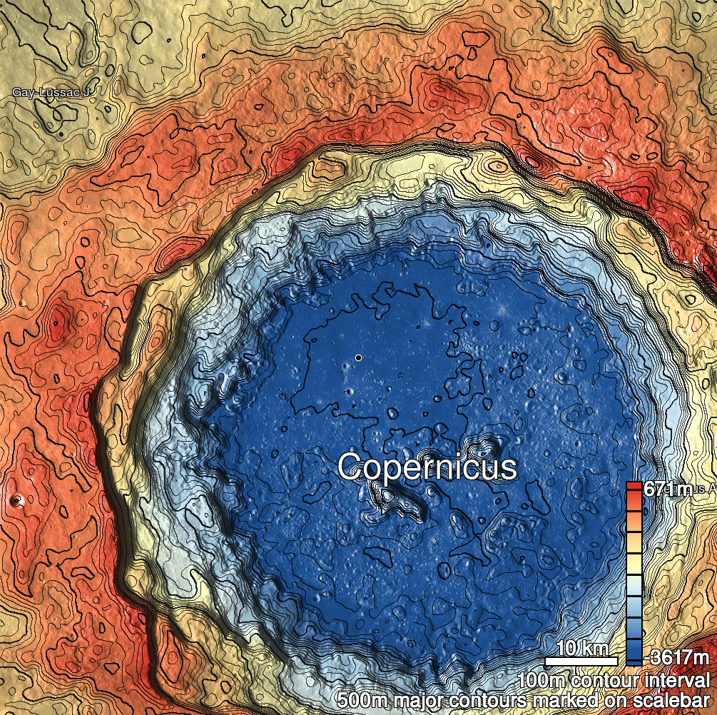
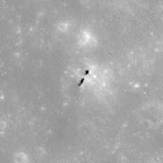
Pits Atlas: Copernicus 19a
| Impact Melt pit: Copernicus | |
|---|---|
| Name | Copernicus 19a |
| Lat. | 10.1326 |
| Long. | 339.6052 |
| Desc. | Larger of two pits adjoining a probable bridge. Both pits are very narrow, and at the bottom of a fairly deep (~12m) funnel. No floor is visible. No unambiguously non-impact-caused depressions nearby. |
| Types | |
| Terrain | Impact Melt |
| Host Feature | Copernicus |
| Funnel Min. Diam. | 51 |
| Funnel Max. Diam. | 57 |
| Inner Min. Diam. | 3 |
| Inner Max. Diam. | 11 |
| Azimuth | 32 |
| Depth | >15.0 |
| Depth 1 | >17.0 |
| Depth 2 | >8.0 |
| Depth 3 | >5.0 |
| Best Stereo Left | M135324446L |
| Best Stereo Right | M135324446L |
| DTMs | |
| Clipping Width | 200 |
| Other IMGs | |
| Data Warning | |
| Entrance Ramp | N |
| Overhang | ? |
| Nearby Pits? | Y |
| Nearby Fractures? | N |
| Nearby Depressions? | N |
| In Dome | N |
| Beside Dome | N? |
| In Depression | N? |
| Colinear Pits | N |
| Colinear Depressions | N |
| Colinear Fractures | N |
| Copernicus 19a Shaded Relief | |
|---|---|
 |
| M1147289388R | |
|---|---|
 |
|
| Line | 25610 |
| Sample | 2869 |
| Inc. Angle | -16.57 |
| Emission Angle | -1.41 |
| Time | 12.94 |
| Resolution | 1.19 |
| M188378781L | |
|---|---|
 |
|
| Inc. Angle | 20.36 |
| Emission Angle | -1.04 |
| Time | 10.77 |
| Resolution | 1.27 |
| M1175545925L | |
|---|---|
 |
|
| Inc. Angle | -42.74 |
| Emission Angle | 1.53 |
| Time | 14.81 |
| Resolution | 1.18 |
| Copernicus 19a Stereo |
|---|
 |