Curated Downloads
A curated collection of LROC team products created using LROC data. This selection consists of our most popular ISIS cube files, lunar features posters, global & regional map sheets, 3d printable models, and popular support files. All products are created by LROC team members and shared here to perpetuate our affinity for the Moon — please refer to our terms of use and citation policy for guidance on further usage.
Global & Polar Mosaics (ISIS Cube files)
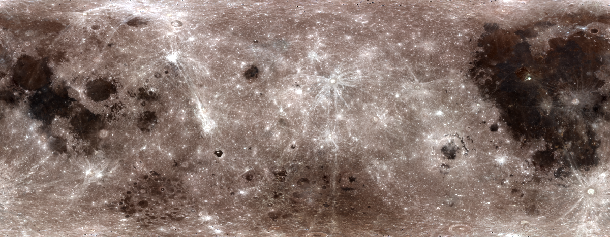
WAC Hapke 7-Band Mosaic
LROC WAC normalized (incidence=60˚, emission=0˚, phase=60˚) reflectance global color mosaic (Version 1.0) using Hapke photometric function as seen in Sato et al. (2014) , Resolved Hapke parameter maps of the Moon, J. Geophys. Res. Planets, 119, 1775-1805, doi:10.1002/2013JE004580
Product details 6.5 GB
WAC Empirical 7-Band Mosaic
LROC WAC normalized (incidence=30˚, emision=0˚, phase=30˚) reflectance global color mosaic using an emperically derived photometric function similar to that of Boyd et al., 2012 2795.pdf
Product details 6.4 GB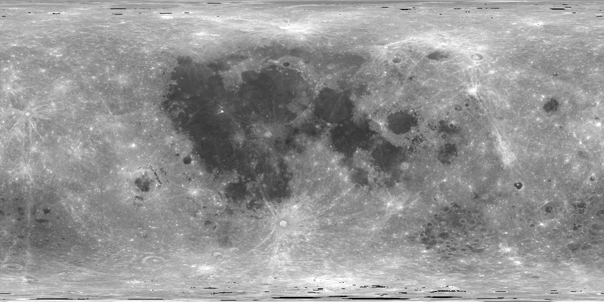
WAC Empirical 643 nm Mosaic
LROC WAC 643nm normalized (incidence=30˚, emission=0˚, phase=30˚) reflectance global mosaic using an empirically derived photometric function similar to that of Boyd et al., 2012 2795.pdf
Product details 18.6 GB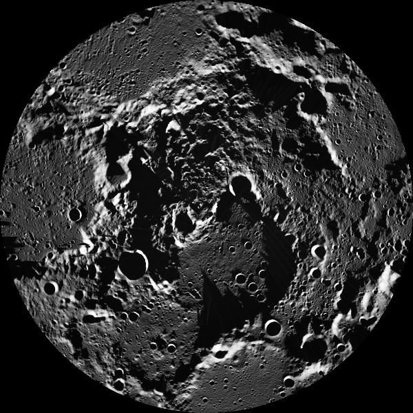
NAC North Pole
LROC North Pole NAC mosaic. NAC images were map projected onto the GLD100 DEM using the LOLA crossover corrected ephemeris. The images were not registered to one another.
Product details 189.5 GB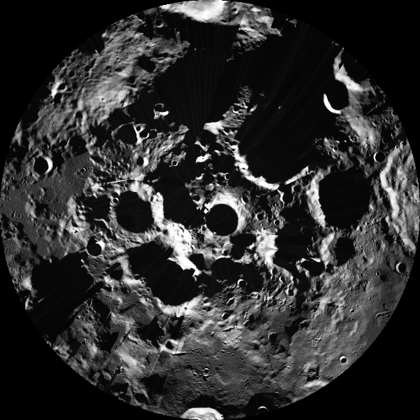
NAC South Pole
LROC South Pole NAC mosaic. NAC images were map projected onto the GLD100 DEM using the LOLA crossover corrected ephemeris. The images were not registered to one another.
Product details 189.3 GB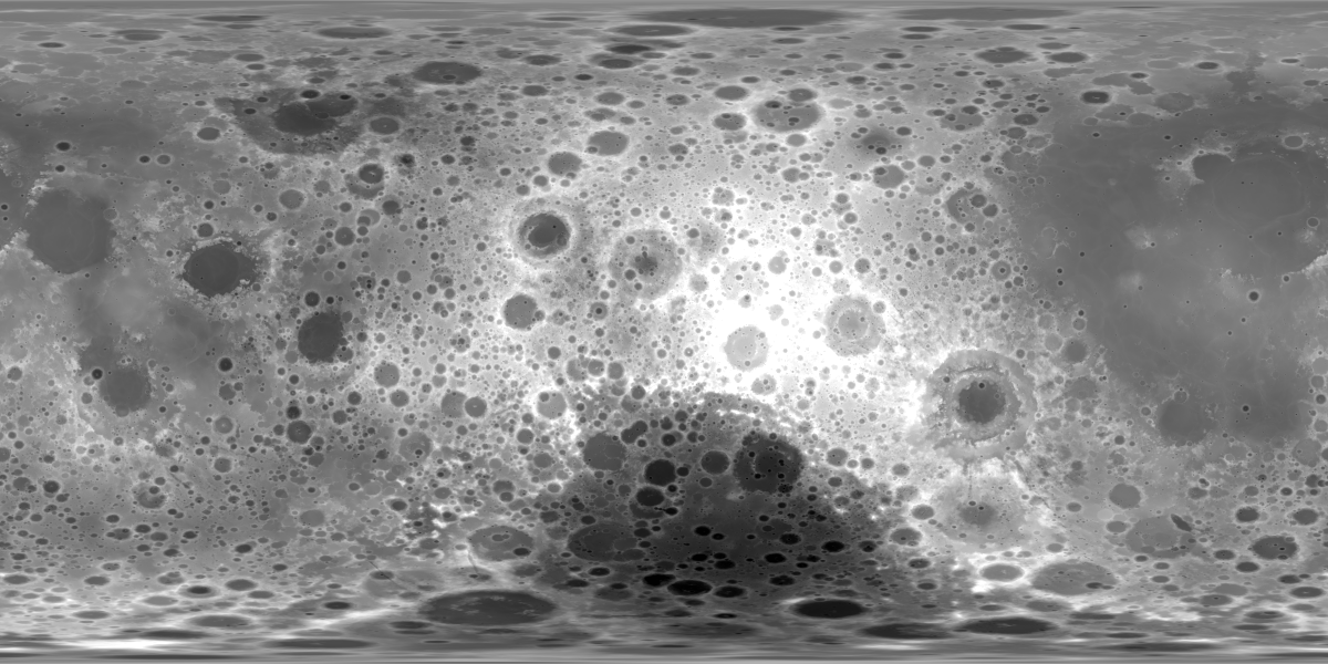
WAC GLD 100 Topography
WAC GLD100 with LOLA 30m DTM poleward of 75˚ latitude.
Product details 5.3 GB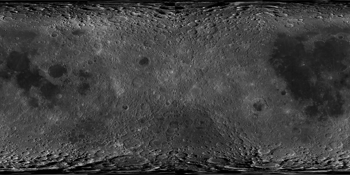
WAC Global Morphologic Mosaic
Global WAC 643 nm mosaic of images between November 2009 and February 2011.
Product details 19.2 GB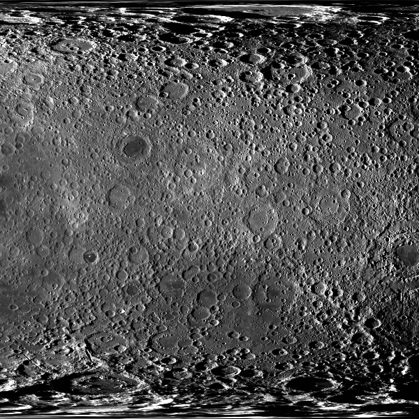
WAC Farside Dusk Mosaic
Farside WAC 643 nm mosaic of images acquired between July 2010 and July 2012.
Product details 9.8 GB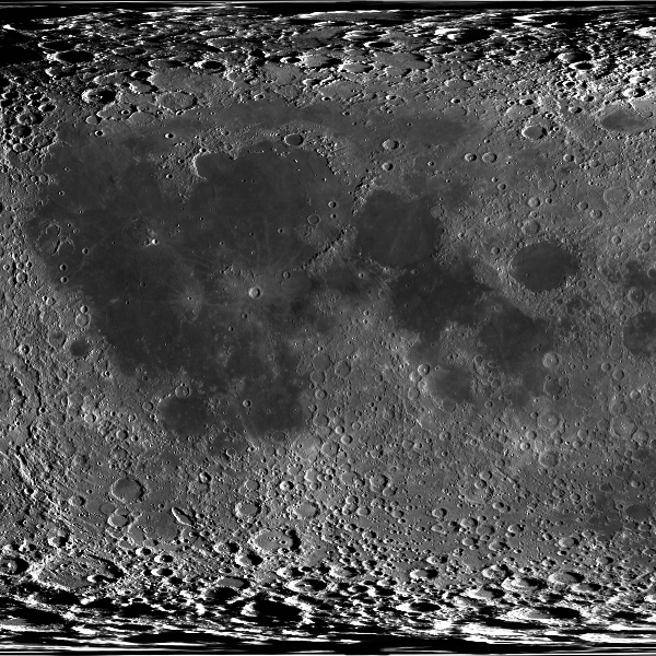
WAC Nearside Dawn Mosaic
Nearside WAC 643 nm mosaic of images acquired between December 2010 and December 2011.
Product details 9.8 GBLunar Feature Posters
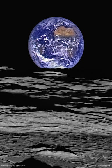
Earth and Limb M199291564L
The Earth straddling the limb of the Moon, as seen from above Compton crater. The large tan area in the upper right is the Sahara desert, and just beyond is Saudia Arabia. The Atlantic and Pacific coasts of South America are visible to the left.
Product details 706.4 MB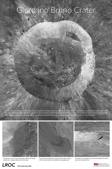
Giordano Bruno Crater
Mosaic of eight LROC NAC images provides this spectacular nadir view of the interior of Giordano Bruno crater (21 km diameter).
Product details 222.5 MB
LROC Educational Series Posters
LROC has been exploring the Moon for well over a decade now. This educational series of posters walk through a history of human interest in the Moon and the amazing lunar discoveries from LROC and the LRO mission since 2009.
Product details 237.6 MB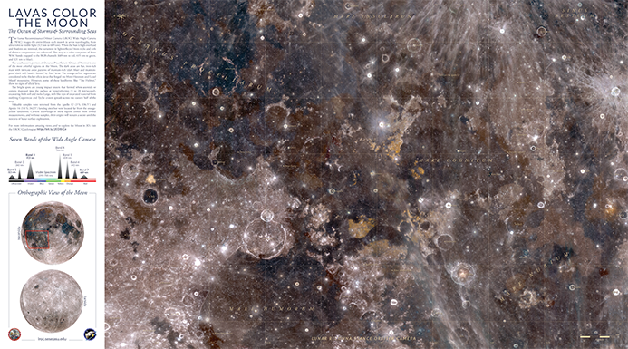
Lunar Lavas Color the Moon
The LROC WAC images the entire Moon each month in seven wavelengths (321 nm to 689 nm). This map is a color composite of three WAC bands mapped to the RGB channels (689 nm to red, 415 nm to green, and 321 nm to blue).
Product details 247.2 MB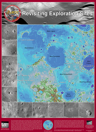
Revisiting Exploration Sites
A collection of LROC imaged lunar exploration sites and a color shaded relief map highlighting each sites location on the lunar nearside.
Product details 316.8 MB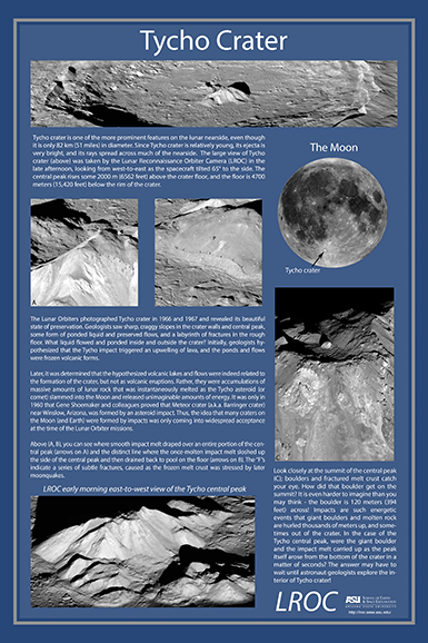
Tycho Crater
An in-depth look at the amazing ~82 km diameter Tycho crater and its impact on our understanding of lunar geology.
Product details 75.7 MBGlobal & Regional Map Sheets

SSMBC x Hakuto-R Venture Moon Mission 2 RESILIENCE Lunar Lander Primary Site Map
This reference map shows the ispace HAKUTO-R Mission 2 lander primary site located within a complex terrain in Mare Frigoris on the nearside of the Moon.
Product details 99.5 MB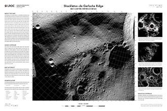
Shackleton deGerlache Ridge Maps
This set of three maps showcases the Shackleton deGerlache Ridge near the lunar south pole, highlighting a potential landing area for future missions like Artemis III and Intuitive Machines IM-2 Nova C lander. The maps emphasize the unique lunar terrain, where perpetual shadow meets accessible solar energy and communication lines, ideal for exploring water ice and other volatiles in the region.
Product details 109.3 MB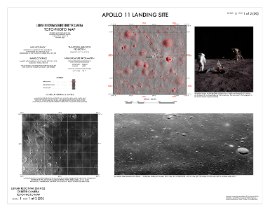
Apollo 11 Landing Site Maps
Topo-photo and Color-shaded relief maps of the Apollo 11 landing site with contour lines and annotations.
Product details 21.4 MB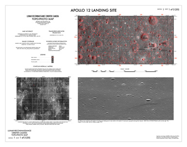
Apollo 12 Landing Site Maps
Topo-photo and Color-shaded relief maps of the Apollo 12 landing site with contour lines and annotations.
Product details 19.9 MB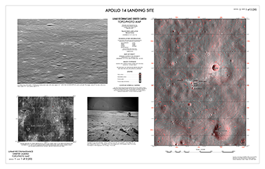
Apollo 14 Landing Site Maps
Topo-photo and Color-shaded relief maps of the Apollo 14 landing site with contour lines and annotations.
Product details 37.5 MB
Apollo 15 Landing Site Maps
Topo-photo and Color-shaded relief maps of the Apollo 15 landing site with contour lines and annotations.
Product details 45.3 MB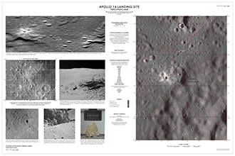
Apollo 16 Landing Site Maps
Topo-photo and Color-shaded relief maps of the Apollo 16 landing site with contour lines and annotations.
Product details 329.3 MB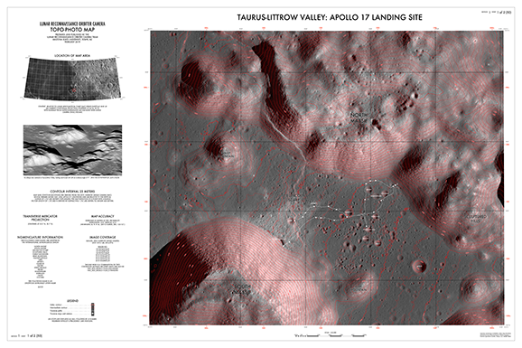
Taurus Littrow Valley Maps
Topo-photo and Color shaded relief maps of the Taurus Littrow Valley and Apollo 17 landing site with relief lines and annotations.
Product details 132.6 MB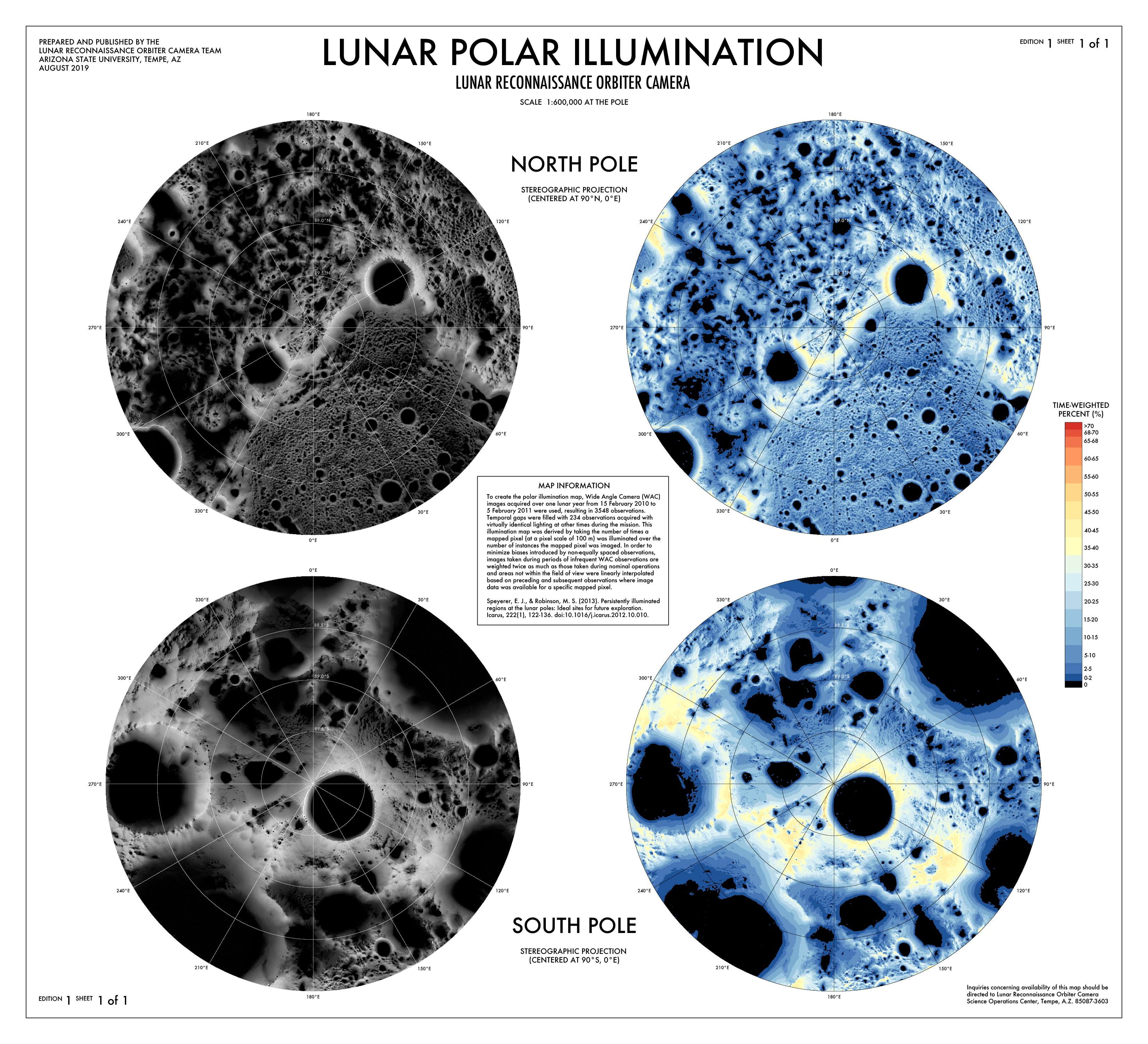
LROC Polar Illumination Map
Illumination maps for the lunar north and south poles derived from LROC WAC images.
Product details 28.4 MB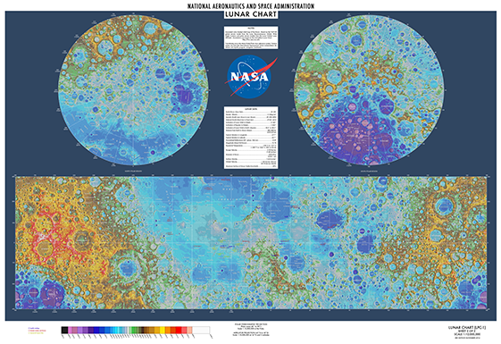
Lunar Chart WAC Color
Annotated map of the Moon. Updated from the 1972 2nd edition Lunar Chart with corrected feature locations and a color shaded relief map of the Moon based on the GLD100 global terrain model from the LROC WAC and polar terrain models from the Lunar Orbiter Laser Altimeter (LOLA).
253.0 MB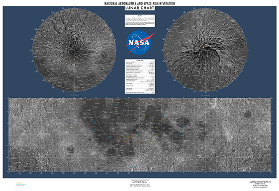
Lunar Chart WAC Morphologic
Annotated map of the Moon. Updated from the 1972 2nd edition Lunar Chart with corrected feature locations and an LROC WAC global morphologic mosaic basemap.
253.0 MB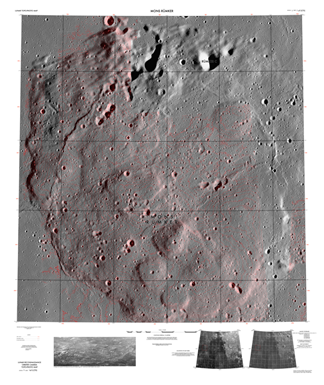
Mons Rümker TP Map
Topo-photo map of Mons Rümker with contour lines and annotations.
Product details 419.2 MB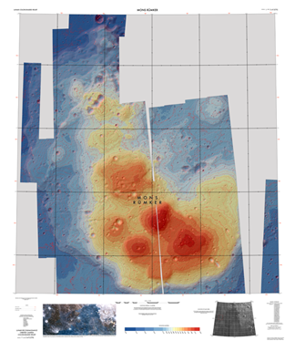
Mons Rümker CSR Map
Color-shaded relief of Mons Rümker with contour lines and annotations.
Product details 419.2 MB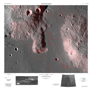
Gruithuisen Domes TP Map
Topo-photo map of the Gruithuisen Domes with contour lines and annotations.
Product details 273.1 MB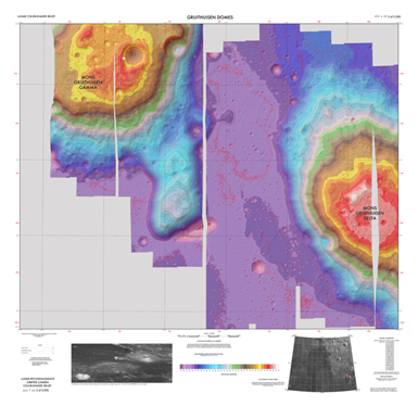
Gruithuisen Domes CSR Map
Color-shaded relief of Gruithuisen Domes with contour lines and annotations.
Product details 273.1 MB3D Printable Models
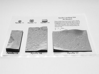
Apollo Landing Site 1:100,000 Model Set
3D-printable models of all six Apollo sites at the same scale, with a display card showing the traverse routes.
32.4 MB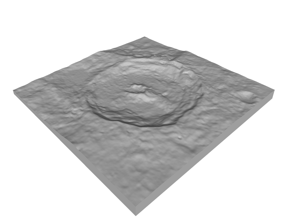

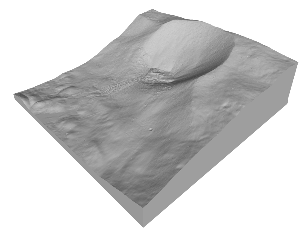

Tall Mountain
3D-printable model of an unnamed tall mountain near the rim of South Pole-Aitken basin.
14.4 MB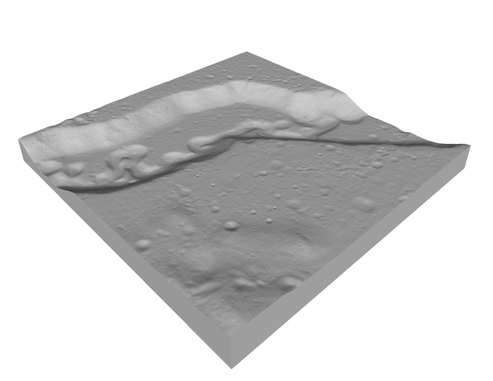
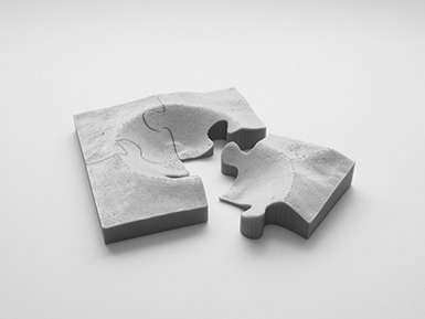
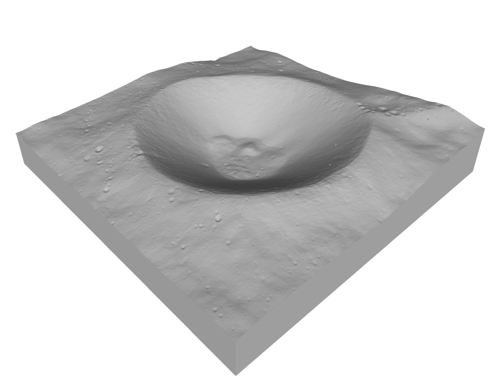
Shackleton Crater Puzzle
3D-printable 4-piece puzzle of Shackleton crater. This puzzle has much looser tolerances than the others on this page, and is a good place to start if you want to 3D print our lunar landscape jigsaw puzzles.
19.5 MB
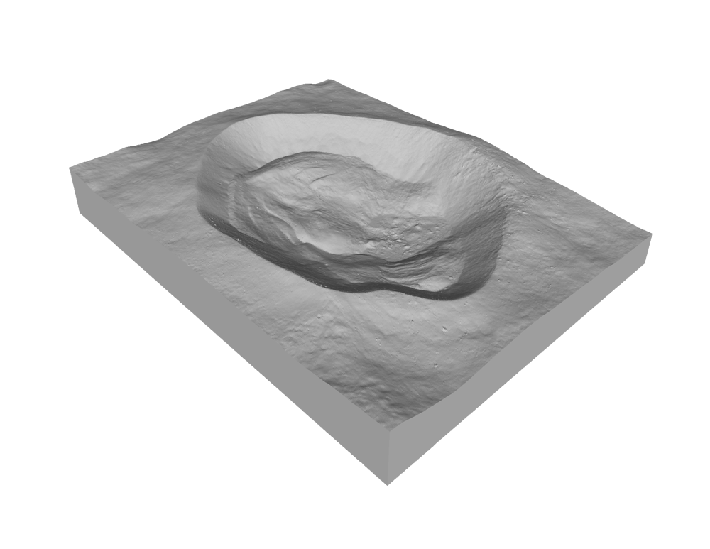
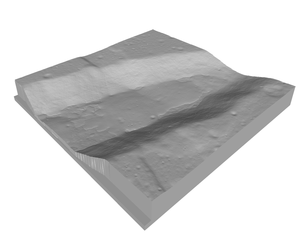
Larmor Q Puzzle
3D-printable 30-piece puzzle of Larmor Q crater. This is an extremely challenging 3D print, and requires that your printer and slicer be perfectly calibrated. Read the included readme file before attempting this print.
Product details 29.3 MB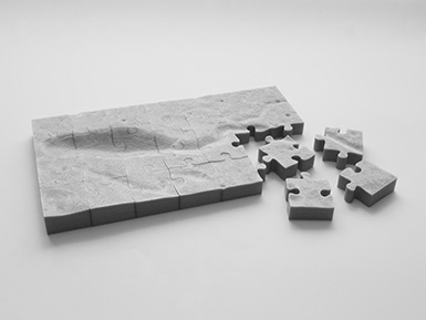
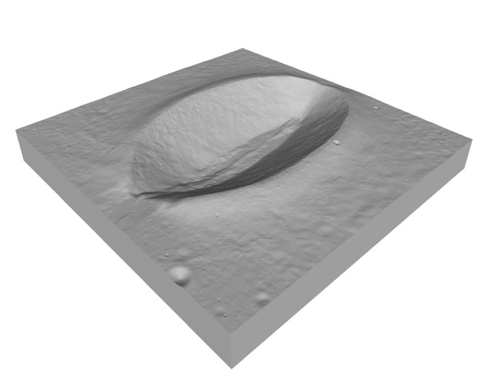
Mozart W Puzzle
3D-printable 28-piece puzzle of the Mozart W volcanic vent. This is an extremely challenging 3D print, and requires that your printer and slicer be perfectly calibrated. Read the included readme file before attempting this print.
Product details 36.6 MBPopular Support Files
Re-released LROC NAC DTMs
List of LROC NAC DTMs that have been re-released to the PDS to reflect improved accuracy. This list also includes the PDS volume, version and date of re-release.
11.0 KB