On 20 July 1969, the Apollo 11 Lunar Module (LM) Eagle touched down on a dusty, cratered plain called Mare Tranquillitatis (the Sea of Tranquility). Moments later, Mission Commander Neil Armstrong declared: "Houston — Tranquility Base here. The Eagle has landed." Even after half a century, those words are known to people all over the world, most of whom were not yet born when Armstrong and LM Pilot Edwin "Buzz" Aldrin became the first humans to land on the Moon. Eagle touched down at 0.6742°N latitude, 23.4731°E longitude, about 6.4 kilometers west of the planned landing point at 0.75°N, 23.62°E.
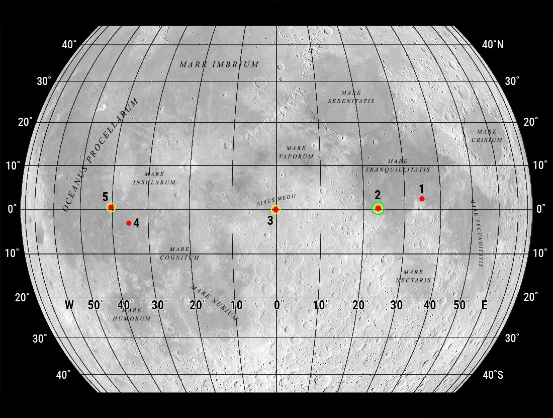
What is not widely known is that Apollo 11 had three target landing sites, any one of which might have become the scene of Neil Armstrong's "one small step" onto the lunar surface. The astronauts trained to land at any of the three sites, which were designated Sites 2, 3, and 5. The prime site was Site 2 in Mare Tranquillitatis. If, however, Apollo 11's launch had been delayed — say, by a technical fault in the giant Saturn V rocket — then the landing site would have shifted west.
To reach Mare Tranquillitatis, Apollo 11 lifted off from Cape Kennedy, Florida, on 16 July 1969. If the mission had not been able to launch on that date, its next opportunity would have occurred on 18 July. Launching on that date would have led to a landing at Site 3, within an ellipse centered at 0.42°N, 358.67°E in Sinus Medii, near the center of the nearside hemisphere. Failure to launch on 18 July would have meant a 21 July launch and a landing at Site 5, within an ellipse centered at 1.67°N, 318.33°E in Oceanus Procellarum.
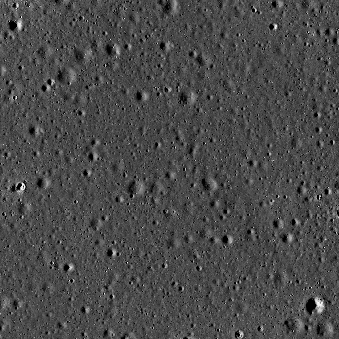
The three Apollo 11 sites had much in common. They were very near the equator, pocked with small craters, and relatively flat, with slopes generally no steeper than 2°. At no site would the descending LM, flying in from the east, pass over mountains or large craters that could confuse its landing radar. On landing day at all three sites, it would be in the early-to-mid morning of the two-week-long lunar daylight period. The low morning Sun meant that boulders, crater rims, and other obstacles would cast long shadows, making it easy for the LM crew to see and avoid them.
The Apollo 11 landing sites were chosen from a list of five sites that geologists and engineers had selected in February 1968 for the first and second Apollo Moon landing attempts. Geologists hoped that, if Apollo 11 landed as planned at Site 2, where basalt making up the surface was slightly bluish, then Apollo 12 would land at Site 4 in Oceanus Procellarum, where the basalt was slightly reddish. Site 5, where the basalt was also slightly reddish, would become the lone Apollo 12 backup site. Conversely, if Apollo 11 were delayed so that Eagle landed at Site 5, Apollo 12 would aim for the slightly bluish basalt of Site 2.
Apollo 11 landed successfully but off-target, near the southwest edge of the Site 2 landing ellipse; Apollo 12, however, was not directed to Site 4 or Site 5. Instead, it aimed for a new site designated Site 7, where it performed a pinpoint landing. That is, however, a story for another LROC Featured Image.
Explore Site 5 in Oceanus Procellarum and the region around it in the zoomify image below. Be sure to look for the wrinkle ridge — a tectonic feature caused by compression in the crust of the cooling, shrinking Moon — which is located about 40 kilometers south of Site 5. The ridge, up to 200 meters tall, was well outside the Site 5 landing ellipse, which was just as safety-conscious engineers wanted.
Related Featured Images:
High Noon at Tranquility
A Stark Beauty All Its Own
Surveyor 6 On the Plains of Sinus Medii
Surveyor 1 - America's First Soft Lunar Landing
What Armstrong Saw
Pinpoint Landing on the Ocean of Storms
Published by David Portree on 9 August 2019