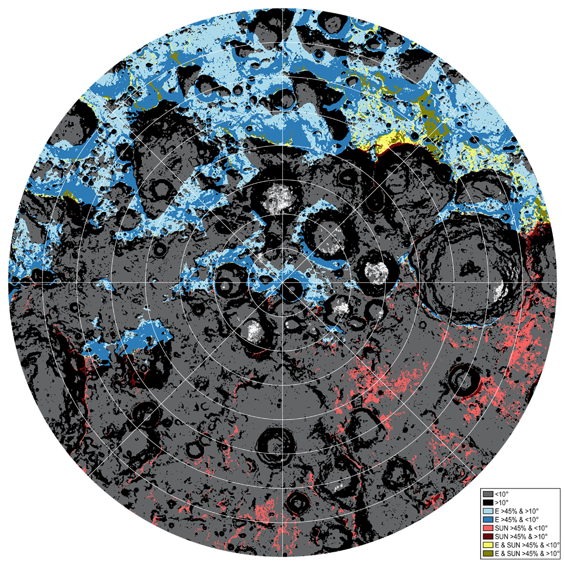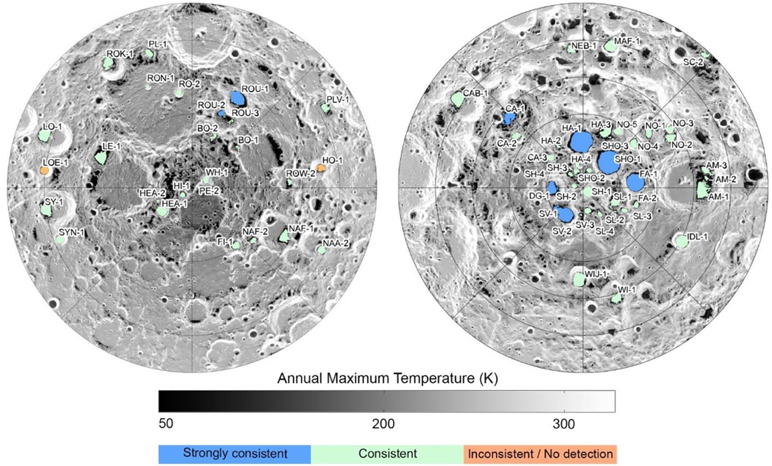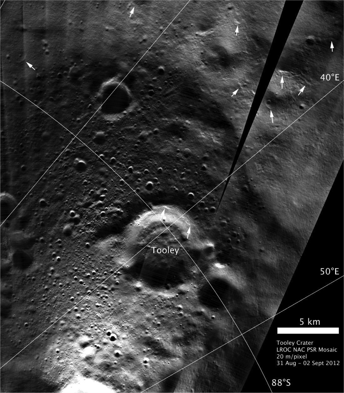
Humankind is headed back to the Moon, and this time, interest is focused on the south-polar region. Here the interior of many craters and topographic depressions never see sunlight. These permanently shadowed regions (PSRs) are so cold (down to -415° F or -248° C!) that frozen volatiles, such as water, can be trapped for hundreds of millions of years. If large frozen water deposits exist within the PSRs, they are a valuable resource for cislunar space exploration.
Even with direct evidence of water ice and other volatiles in one permanently shadowed crater, Cabeus, and the variety of data available from the Lunar Reconnaissance Orbiter (LRO) peering into PSRs, there is still uncertainty about how much water is present, what other frozen resources exist, and the exact locations and depths of the frozen materials. However, identifying locations of water ice is only part of the puzzle: scientists and engineers must find relatively flat landing sites, have plenty of sunlight for power, and are in line-of-sight communication with Earth.
To help guide future orbital and landed missions searching for polar volatiles, the LROC science team looked at ten datasets from eight instruments and came up with a relative valuation of resource potential for larger PSRs. However, many PSRs are not easily accessible by a rover (in-situ exploration) and do not have ideal illumination and Earth communication.
PSRs with suitable exploration conditions for measurements of in-situ frozen materials were also identified by our study. However, choosing the best landing sites for future missions requires additional observations in PSRs to clarify where water ice is located - both on the surface and buried in the subsurface - and how much of it will be usable.

ShadowCam, which launched in August 2022, is now mapping PSRs at a scale of 2 meters. ShadowCam is 200 times more sensitive than the camera it is modeled after (the Lunar Reconnaissance Orbiter Camera (LROC) Narrow Angle Camera (NAC)).
This improved imaging of the surfaces inside PSRs will enable scientists to search for landforms that may indicate volatile deposits and map obstacles like boulders and craters, reducing travel risk for future landers and rovers. Comparing ShadowCam images of the surface with data from instruments that probe the subsurface will help us interpret water ice locations more precisely.

Read the LROC Team paper, Resource Potential of Lunar Permanently Shadowed Regions.
Read more about water ice in PSRs:
Searching for Ice at the Moon's Poles
Casting Light on Permanently Shadowed Regions
More about ideal polar exploration conditions:
Traversing the Shackleton de Gerlache Ridge
Islands in the Dark
On the Rim!
Lunar Exploration: Planning The Next Steps
South Pole Illumination Map
Five Years Later: Revisiting an Old Friend
LROC Educational Activities:
The Mystery of Lunar Water
Rovers and Mission Planning: New LROC Activity Guides!
Published by Holly Brown on 13 June 2023