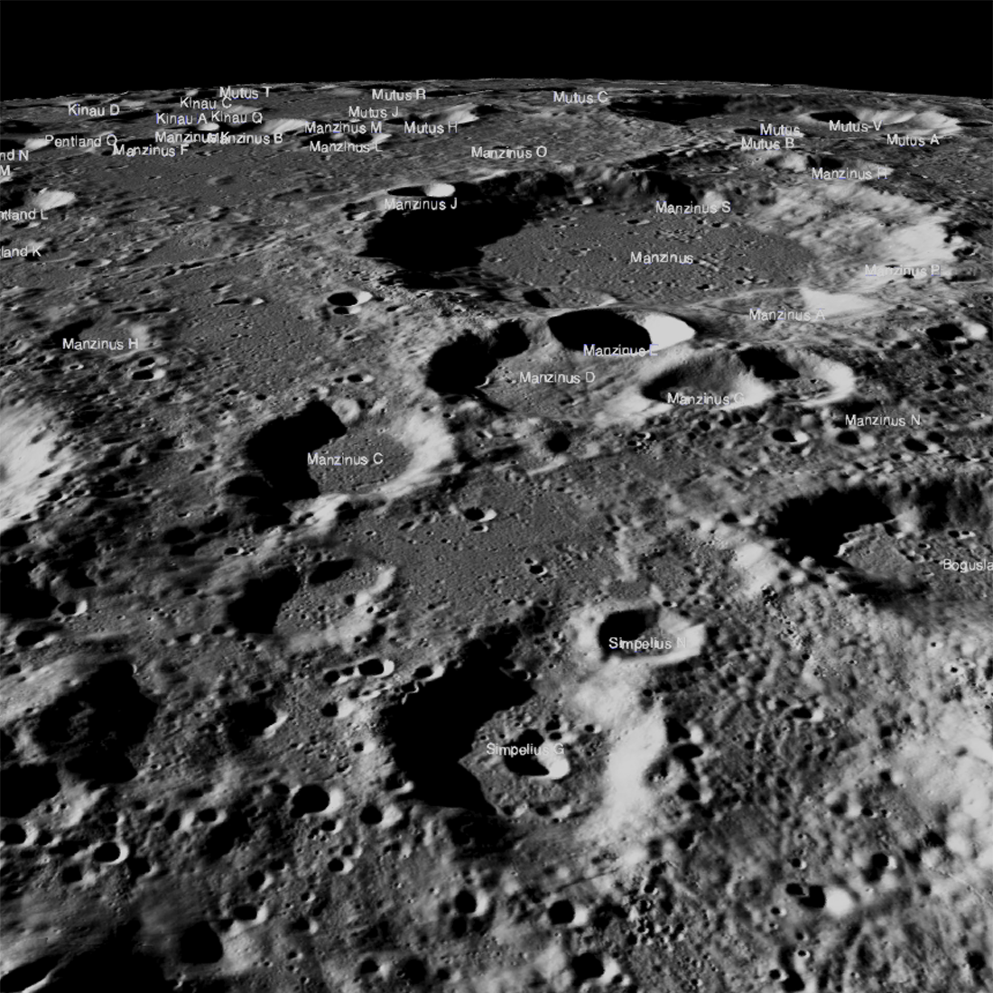
The lander, Vikram, was scheduled to touch down on 6 September 2019 at 20:24 UTC (4:24 pm Eastern Daylight Time). This event was India's first attempt at a soft landing on the Moon. The site was located about 600 kilometers (370 miles) from the south pole in a relatively ancient terrain (70.8°S latitude, 23.5°E longitude). Perhaps the best way to visualize the site is to take a quick fly-around. LRO passed over the landing site on 17 September and acquired a set high resolution images of the area; so far the LROC team has not been able to identify the lander. We note that it was dusk when the landing area was imaged and thus large shadows covered much of the terrain, perhaps the Vikram lander is hiding in a shadow. The lighting will be favorable when LRO passes over the site in October and LROC will attempt to image the lander at that time.
ISRO announced that the orbiter is functional and it is scheduled to send back observations over the next year; read about the impressive array of scientific instruments on the ISRO Chandrayaan 2 webpage.
Search for the lander in this large mosaic centered on the targeted landing coordinates. Note this mosaic is quite large (28314 pixels by 57851 lines) with approximately 900 million illuminated pixels (1.25 meter pixels, 1000 meter grid, polar stereographic projection) [NASA/GSFC/Arizona State University].
Related Featured Images
Topographic Map of Chang'e 4 Site
Published by Mark Robinson on 26 September 2019